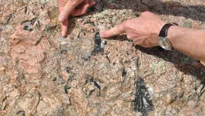
In the course of their mining operations, mining operations are occasionally confronted with groundwater or geotechnical challenges that can adversely affect mining operations and pose significant safety hazards.
Today, current geophysical techniques contribute significantly to efficient mining operations, environmental protection and personnel safety at mine sites. Non-destructive geophysical techniques that do not interfere with the field and nature; It provides fast and economical solutions to mining operations in critical issues such as groundwater flow, waste dams, hards, determination of acid rock drainage sources and mapping of current underground conditions.
SAGTech Geophysics team provides solutions to its customers with up-to-date geophysical techniques to improve mining operations and the extraction process by identifying geological hazards that may occur in mining sites in advance.
Geophysical Applications at Mine Site
- Infrastructure monitoring, e.g. tailings dams and embankments
- Assessing the integrity of tailings dams
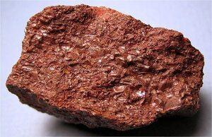
- Identification of sources of acid rock drainage
- Locating leaks in pool liners
- Determining/planning the removability of the rock
- Seismic site classification surveys for infrastructure
- Detection of old underground galleries
- Overload/Determination of blanket thickness
- Geotechnical information for mine development/expansion
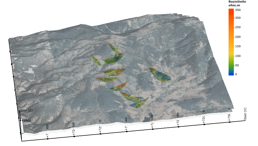
- Mapping of aquifers and aquitards in geohydrological investigations
- Mapping of potential slip planes in/under waste piles
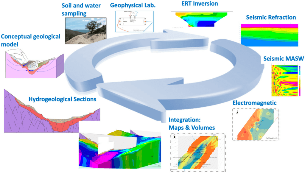
Geophysical Methods
- Seismic (Refraction / MASW / REMI / SASW)
- Microtremor (HVSR)
- SP and Resistivity (ERT, DES, Downhole ERT)
- Ground Penetrating Radar (GPR)
- Micro Gravity
- Electromagnetic
- Geophysical Seismic Well Logs (PS Log, Cross Hole, Up Hole, Down Hole)