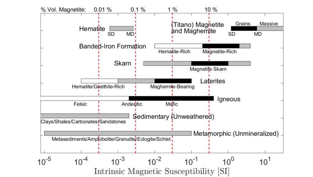
A magnetometer is an instrument that measures magnetic field strength in units of gamma or nanotesla (1 gamma = 1 nanotesla = 0.00001 gauss). Local changes or anomalies in the Earth’s magnetic field are mostly the result of disturbances caused by changes in concentrations of ferromagnetic material near the magnetometer sensor. A buried ferrous object, such as a steel drum or tank, locally disturbs the earth’s magnetic field and causes a magnetic anomaly. The common goal of conducting a magnetic survey at a hazardous waste or groundwater contamination site is to map these anomalies and determine the boundaries of the area where the sources of these anomalies are buried. Values of the Earth’s magnetic field generally range from 25,000 nT to 70,000 nT.
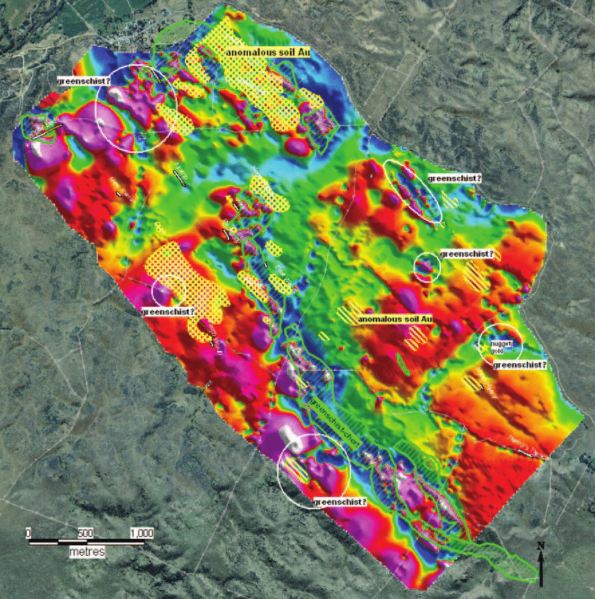
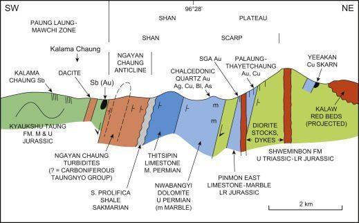
The magnetic method is also one of the most cost-effective, fast and efficient methods used to map various geological features in an area, such as mineral deposit discovery and boundaries, igneous intrusions, faults and some geological contacts that can play an important role in the hydrogeology of a groundwater contamination area.
Magnetic Survey Application Areas
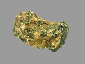
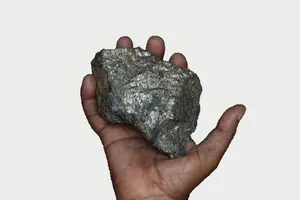
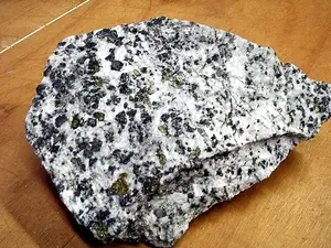
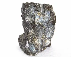
- Mineral deposit boundaries
- Geological boundaries
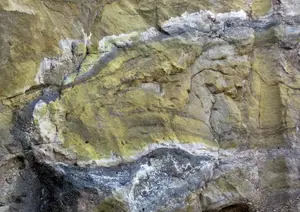
- Alteration zones
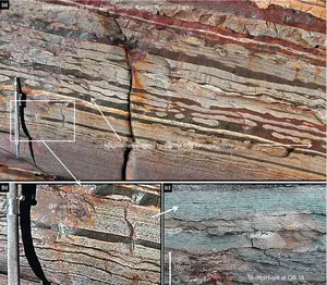
- Identification of faults and fracture fracture zones
Magnetic surveys also allow the identification of underlying structures
- Identification of underground storage tanks or drums
- Identification of geological faults, fractures that may contain groundwater
- Mapping the extent of archaeological sites and landfills
- Mapping of metallic objects in soil and concrete
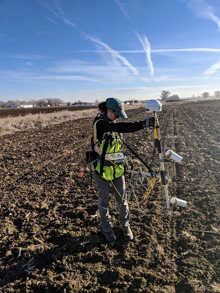
Equipments
- Proton Magnetometers
- Cesium Magnetometers
- Overhouse Magnetometers
- Drone Quantum Magnetometers
- CORS – RTK – GNSS