Aeromagnetic/airborne/drone magnetic geophysical surveys are the determination of the intensity of the geomagnetic field to detect local magnetic variations in rocks. The resulting airborne magnetic data is often used to support the mapping of geological formations, their influencing anomalies and faults to directly detect any magnetic mineral concentrations.
There are many different types of airborne magnetic geophysical surveys: magnetic, radiometric, electromagnetic, gravimetric sensors are fixed to helicopter, airplane or drone platforms to take measurements at a given meter. These surveys make it possible to effectively cover large areas that may be inaccessible or even hazardous without the need for any line-cutting, thus significantly reducing overhead costs, and the costs are lower than any geophysical survey land survey for a large area. However, the resolution they provide is many times higher than terrestrial geophysical surveys.
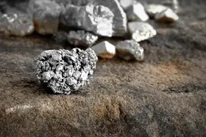
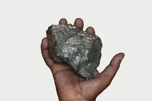
Magnetometers can easily detect land mines, metallic mineral exploration, buried pipe and cable infrastructure, magnetic materials in archaeological sites and unexploded ordnance.
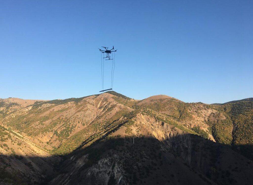
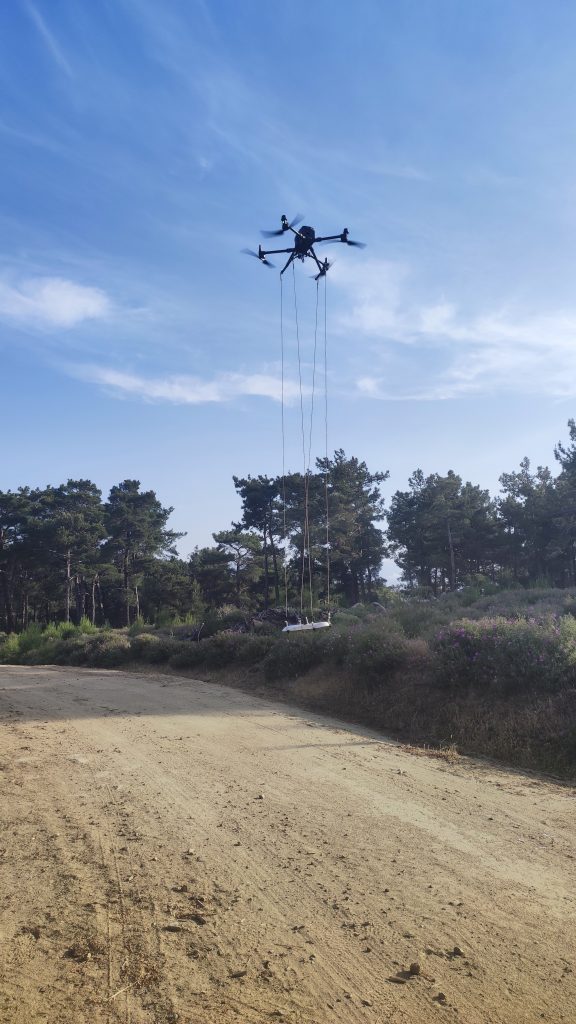
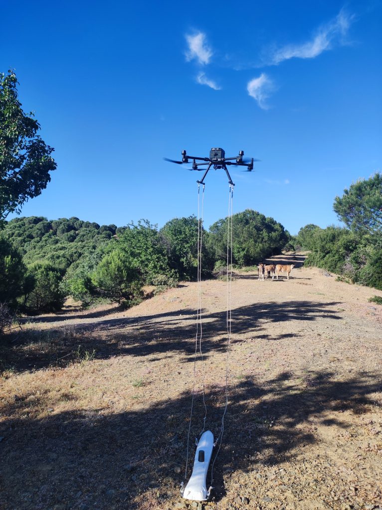
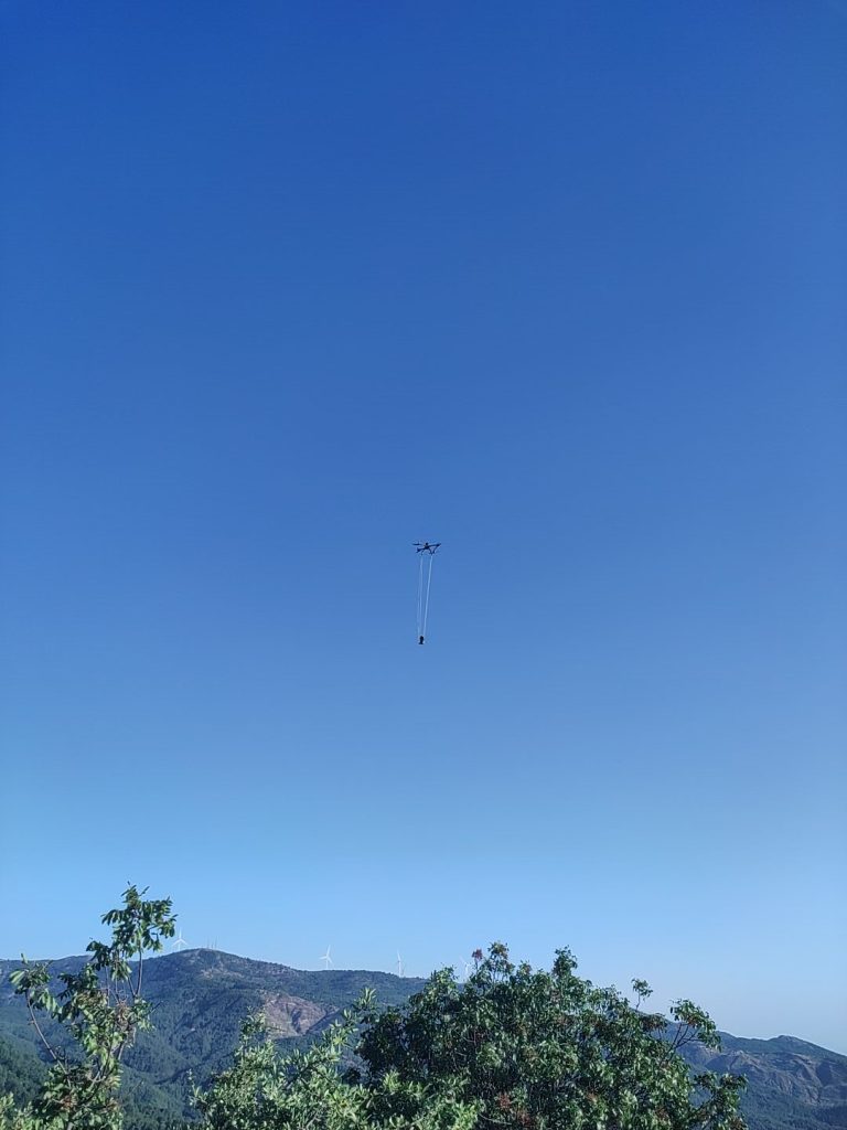
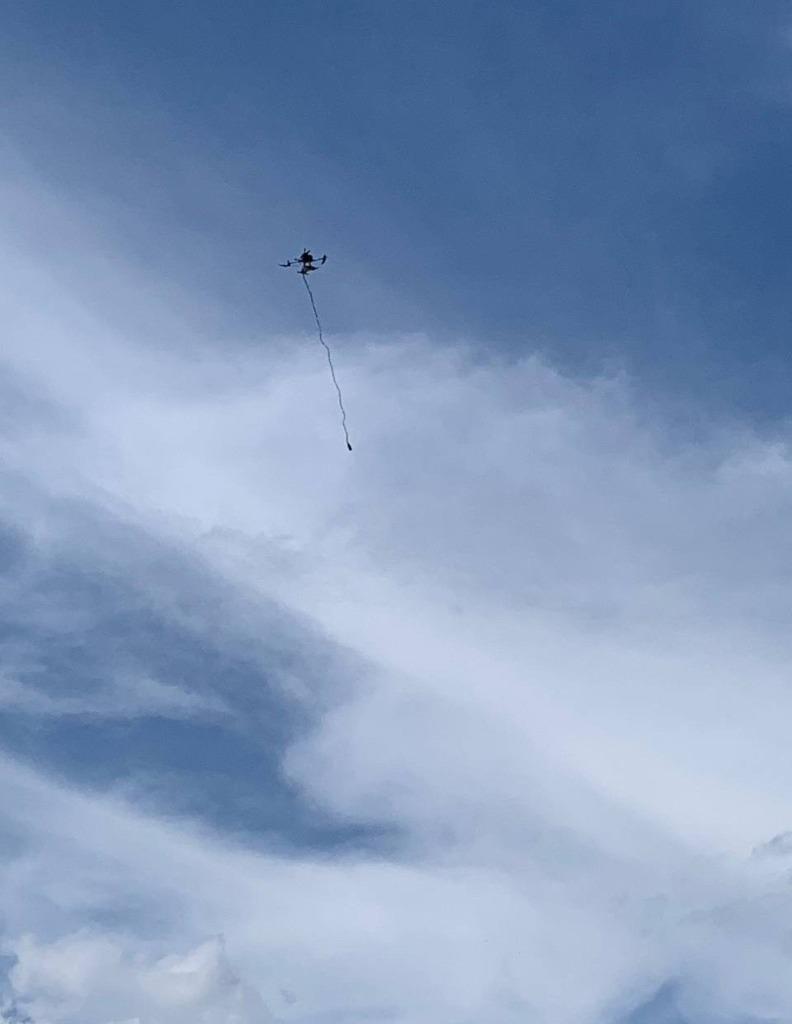
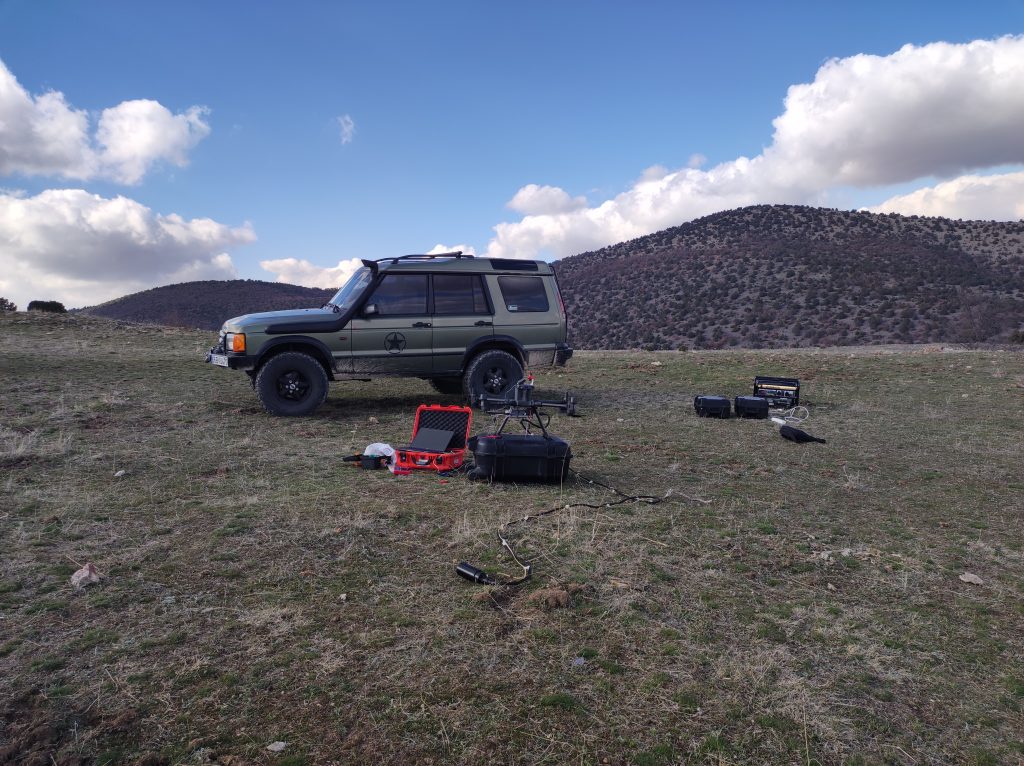
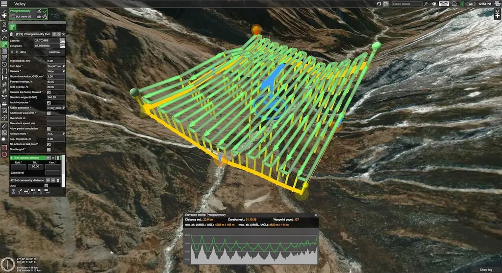
Recent advances in UAV technology have made it even more viable with longer flight times, precision navigation systems integration and payload carrying capabilities. The advantage of Drone Magnetometers is that we obtain high-resolution data more safely, more efficiently and cost-effectively compared to traditional terrestrial handheld scanning and manned aircraft systems.
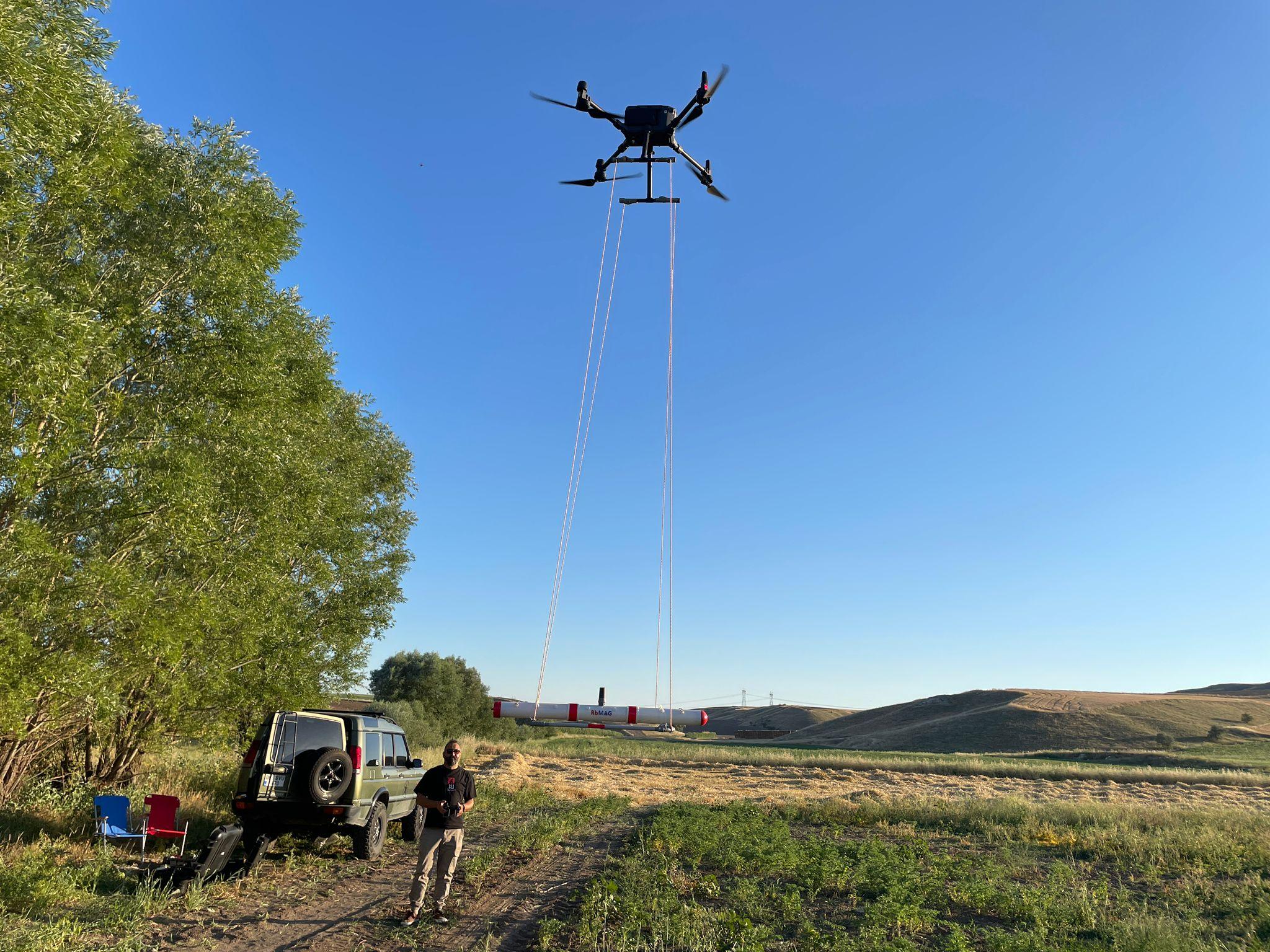
By integrating UAV GPS and magnetometer data, we can easily create geo-referenced maps.
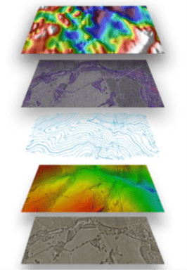
Data Processing and Presentation
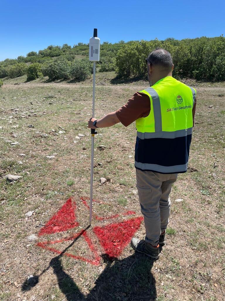
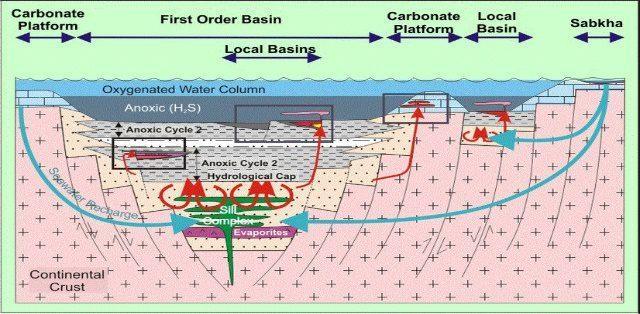
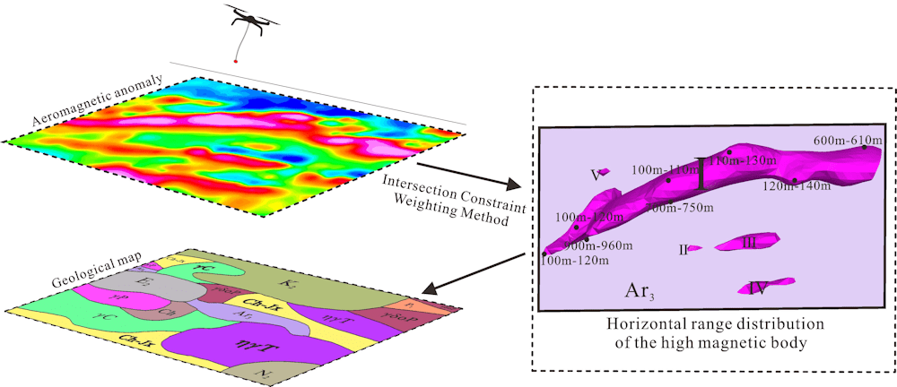
Typically, data are collected in a systematic way at a site and presented as a contoured map (in units of nT or nT/m) that can then be interpreted to produce a map of the surface. The amplitude and shape of a single anomaly will reflect the size, orientation and magnetic susceptibility of reserve areas, geological structures or buried targets.
Equipment and Features
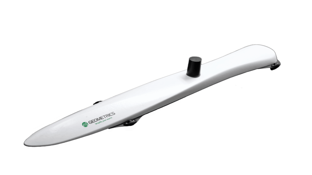
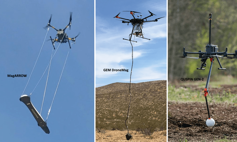
Geometrics MagARROW
Geometrics MagArrow MFAM Technology
Optically Pumped Cesium
Magnetometer
- Operating Range: 20,000nT to 100,000nT
- Work Zones: Can be configured to operate anywhere in the world without dead zones.
- Noise/Sensitivity: 0.005nT/√Hzrms
- Maximum Sampling Rate: 1000Hz
- Bandwidth 400Hz
- Steering Error: ±5nT in all 360º equatorial and polar rotations
- Operating Temperature: -10ºC to +40ºC
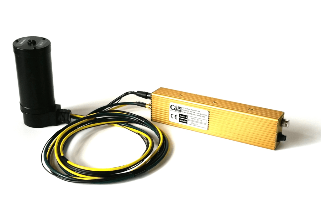
GEM DroneMag 25U/35U
Optically Pumped Potassium
Magnetometer
- Sensitivity: 0.022 nT @ 1 Hz / 0.0002 nT @ 1 Hz
- Resolution: 0.0001 nT
- Absolute Accuracy: +/- 0.1 nT
- Orientation Error: + / – 0.05 nT
- Dynamic Range: 15,000 to 120,000 nT
- Gradient Tolerance: 50,000 nT/m
- Sampling Intervals: 1, 2, 5, 10, 20 Hz
- Operating Temperature: -40°C to +55°C

QUSPIN Gen-2
Optical Pumped Rubidium
Magnetometer
- Sensitivity: Scalar: <3 pT/√Hz; Vector: <0.1 nT/√Hz (optional add-on)
- Data Rate: 1000 samples/sec (maximum)
- Bandwidth 500 Hz
- Dead zone Axial only, < +/- 7º cone around the earth area (typical <5º) (diagram)
- Header Error: <3 nT uncompensated
- Dynamic Range: 1000 nT to 150,000 nT
- Operating Temperature: -15 to + 55 degrees °C
Advantages of Drone Aerial Magnetic Surveys
- Possibility to measure on desired lines using RTK accuracy (cm accuracy)
- Fast data collection in all challenging terrains
- Smooth data collection without sudden sensor movements
- Accurate data collection from a fixed height with True Terrain Follow mode
- Easy data collection in water and swampy areas,
- Possibility to work in hazardous areas (mined areas),
- Possibility of exploration in deep valleys with too many slopes and inaccessible valleys,
- Rapidly survey large areas economically
Above all, drone magnetic surveys offer a safe and reliable way to acquire geophysical data even in the most inaccessible terrain.
Drone Magnetic Surveys Application Areas
- Identification of geological structures
- Identification of magnetic structures
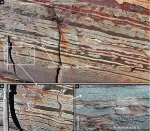
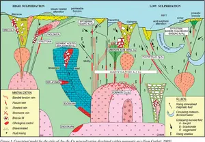
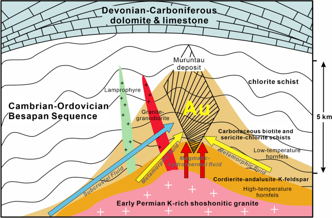
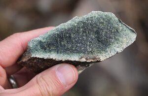
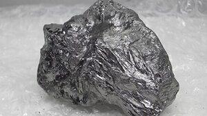
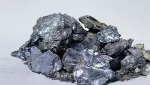
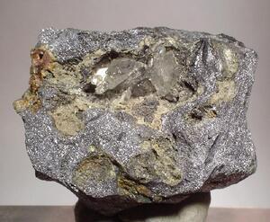
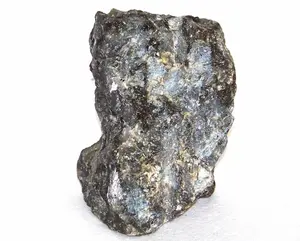
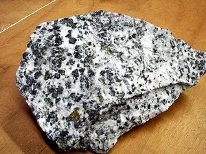
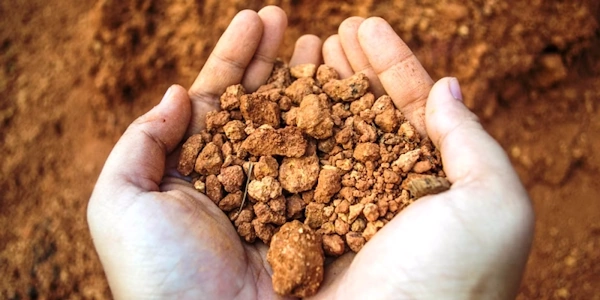
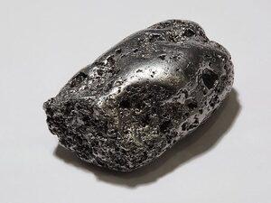
- Exploration of mineral resources
- Hydrocarbon exploration
- Identification of faults
- Determination of lithology boundaries
- Archaeological research
- Detection of buried structures
- Detection of exploded and unexploded ordnance (UXO)
- Detection of abandoned oil wells
- Identification of old mine galleries