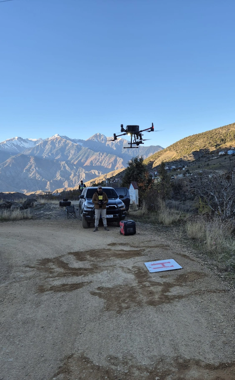
Drone surveying, also known as drone mapping or remote sensing, is the process of surveying an area with unmanned aerial vehicle and downward-looking sensors to obtain geospatial data. We offer two drone survey methods photogrammetry and lidar. Each method has its own ideal use.
Photogrammetry: Uses overlapping imagery and positioning data to reconstruct terrain into 2D or 3D models. This method relies heavily on visibility. It is great for quick surveys and visualization of areas, but has difficulty collecting terrain data under vegetation.
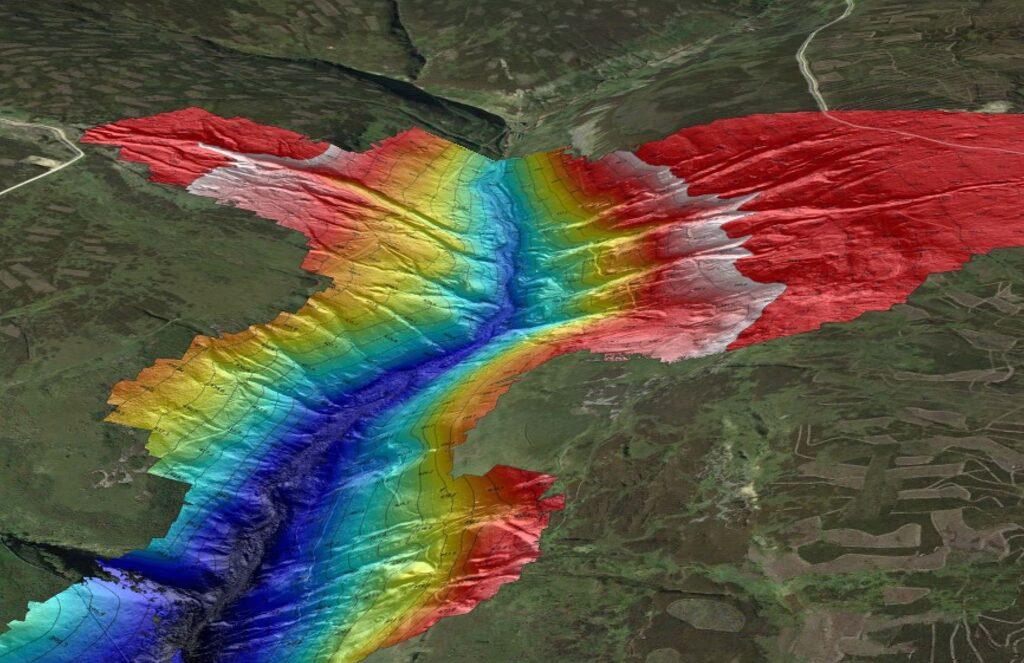
LiDAR: Light detection and ranging devices measure features by vibrating light rays and calculating their reflection properties. LiDAR data creates a point cloud that is combined with positioning data to produce highly accurate X, Y and Z coordinate data for each point. It is ideal for high accuracy measurement needs and is capable of penetrating dense vegetation.
Both methods require advanced data processing. The dataset is georeferenced, distortion corrected, aligned and quality checked before the final terrain model is created.
Application Areas
- Orthophoto and Lidar
- Survey map production
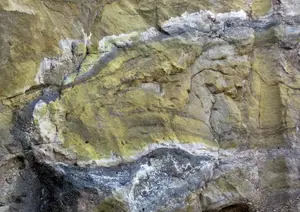
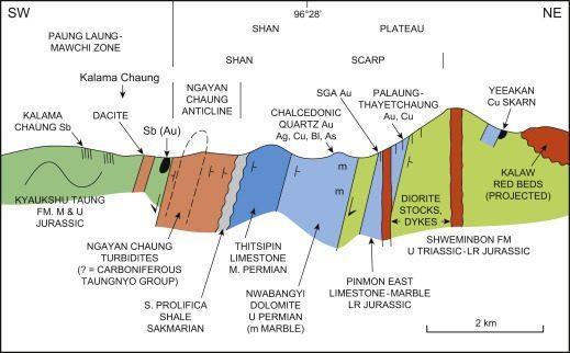
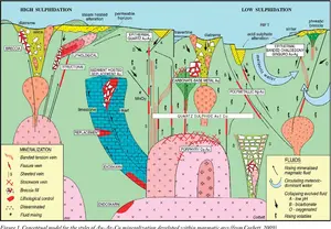
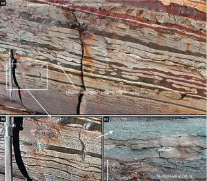
- Preparation of Geological/Topographic Maps
- Digital Terrain Model (DTM)
- Digital Surface Model (DSM)
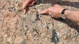
- Measurement of archaeological study areas
- Solar Power Plant (SPP) Mapping
- Measurement and mapping of dam basins
- Measurement of marshlands
- Preparation of Hydrogeology and Resource Maps
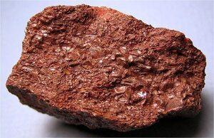
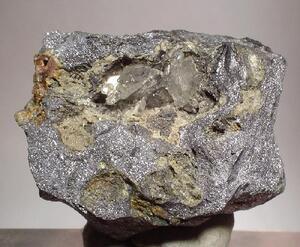
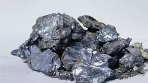
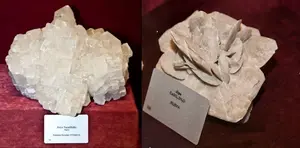
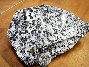
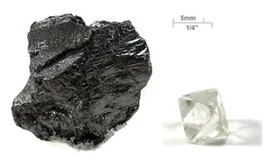
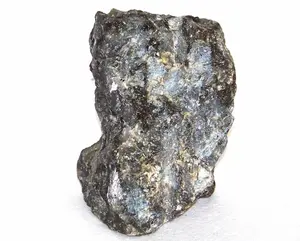
- 3D Resource Reserve Mineral Modeling
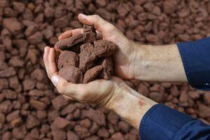
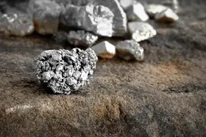
- Measurement of mining sites, quarries, dumping and landfill sites
- Volume Calculation in Landfill
- Volume Calculation in Foundry and Stock Area
- Preparation of Manufacturing Maps